@rosborne979,
yes, and they are on the edge of remelting into a more granitic type rock. That phenom is called anatexis and is , technically, a fourth class of rock.
New ENgland is a funky area geologically. Its been the leading edge of continental collisions at least 3 times so , not only do we see metamorphosed sedimentary rocks and igneous rocks, we see re melted and re metemorphosed rocks. These can be seen in microscopic sections and in "reset" isotope clocks in the minerals of the rocks.
We look for zircon minerals and analyze their components for the isotopic clock data. Beyond that, the standard tool is a surveying compass with which we can map the trends of rock cleavage and cracks and these "fold" axis in metamorphic rocks. These map trends are also a working tool to analyze deformation sequences. Youll see geologic maps with what look like weather forecast symbols and tiny "capital T's". These are shorthand symbols used by geologists to tell map readers that the trends of deformation has been studied in a specific area.
I use them a lot to search for specific mineral types.
In MAine, in the early 1840's (just before the CAlifronia gold strike) there were several gold strikes in New Brunswick , Maine, Connecticut, and Pennsylvania. In fact, gold is found in commercial deposits all the way down the Eastern flanks of the Appalachians. The largest US deposits of gold (after Alaska) are found in South Carolina and before that, Pennsylvania in the iron deposits of Cornwall and the Grace deposits. (My specialty is finding little hunks of **** in giant masses of crystalline rocks.So Im always on the lookout for large crystalline deposits of rocks with which to assess theior mineral content. Hence, metamorphic rocks are a big area of interest to me.
The USGS has a good map of New England. You go to USGS.gov and go to theior store and you will find all kinds of classic maps for anywhere in the US. New England and Canadas maritimes was where most of the original interpretation of global tectonics was accomplished. So the maps are abundant.
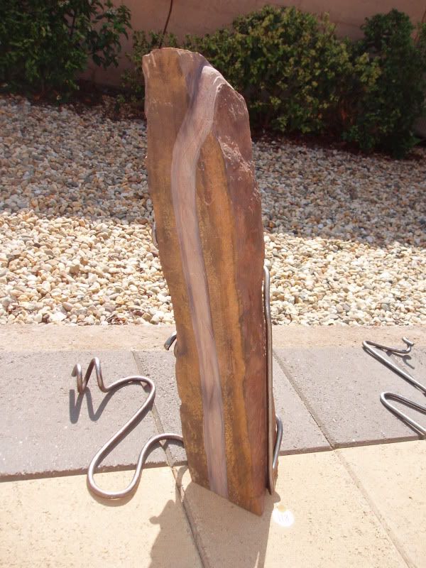
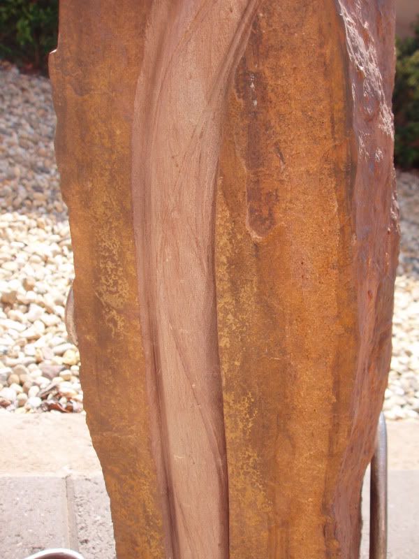
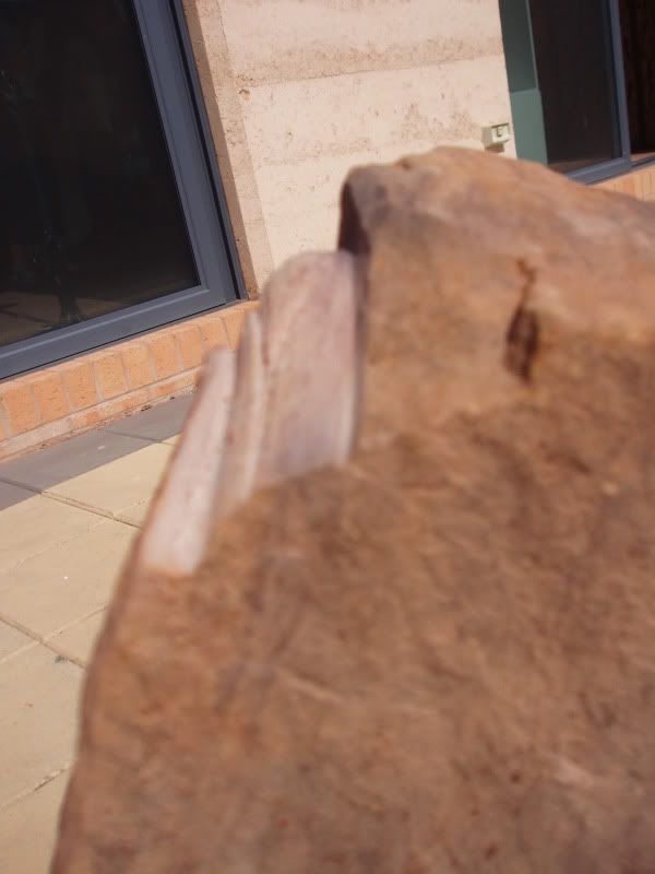
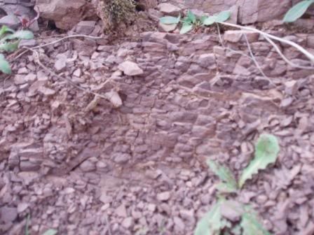
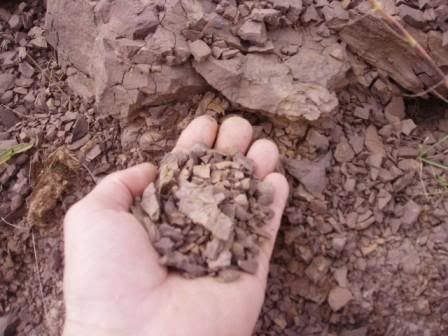
PS, anythime you can actually see linear trends of minerals within a rock outcrop, thats usually a sign pf a metamorphic or anatexctic sdeposit. Igneous rocks are usually always non lineation filled (except in large regional senses where you need an airphoto to detect contacts of different minerals). Linear elements can be seen in sedimentary rocks also , but these lineations are called "bedding" or layers (like a cake).