Hello! First and foremost, I apologise about the many huge screenshots I've posted here - I hope they don't inconvenience you, dear reader, too much!
I was casually looking at Google Earth/Maps in Satellite mode and something didn't seem to make sense. I'm hoping someone here is quite the expert at reading the landscape via aerial photography and can offer some education, please?

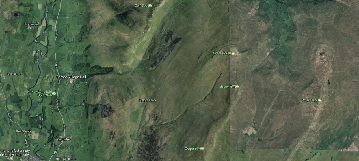
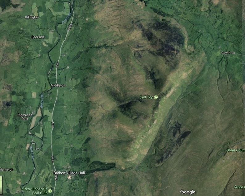
Here's what I was looking at:
(Generic central location: 54.244174,-2.4729241 "Great Coum" )
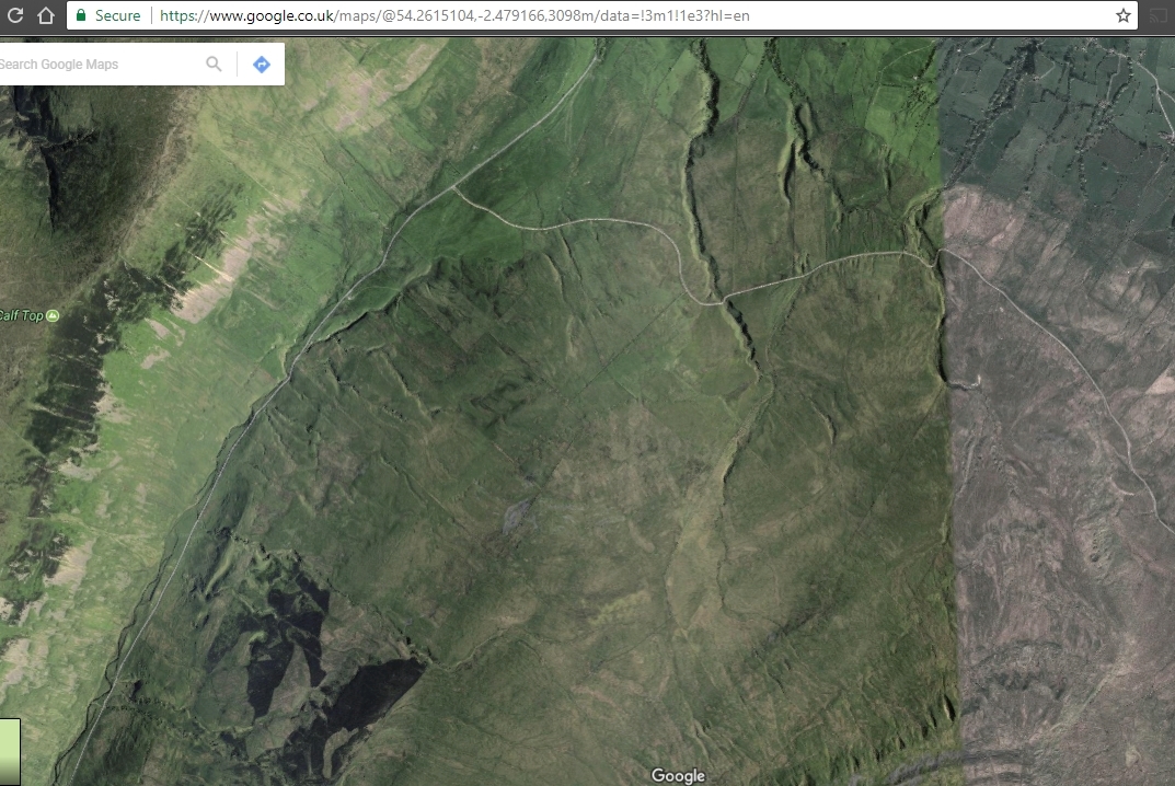
I then zoomed in and saw this:
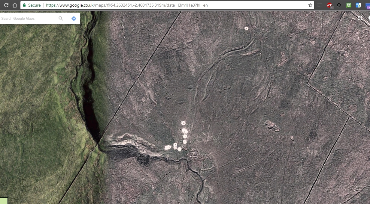
That obviously shows some sort of man-made settlement, possibly a farmstead or other agricultural structure?
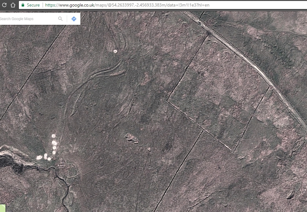
This picture shows how the field boundaries abruptly change before meeting the road, suggesting a protected site - maybe in relation to the primarily-noticeable site uphill? I have no idea how to search archaeological records for something like this, so maybe someone in this forum can help?
Anyway, moving on...
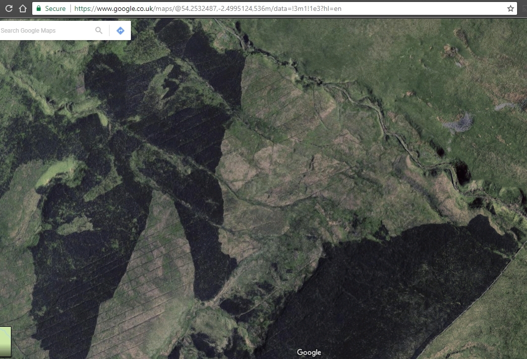
I zoomed out again and noticed all the little streams and veins in the landscape created by water... but I noticed a pattern that looks too structural..?
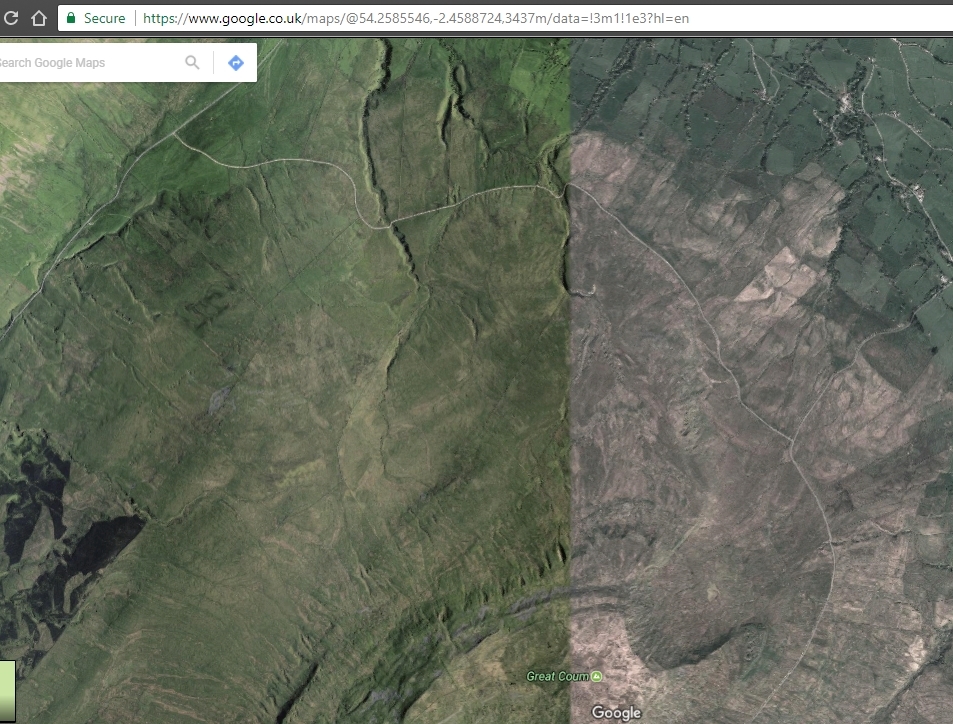
I noticed a lot of straight 'cuts' in the landscape. I'm thinking there's way too many of them for them to be man-made, so I'd like to know how they were formed. My guess is when glacial ice sheets melted and moved step by step over hundreds and/or thousands of years? Or if humans made them, which I doubt, I'm wondering 'why' and 'when' they did that!
But then I also noticed more natural stuff going on. A lot of the veins are raised instead of sunken into the landscape. I'd like to know more about how nature creates these, but I'm guessing that those veins are harder formations of geology, possibly dense mineral deposit among softer limestone?
I'd also like to know why the areas in black are, well, black?
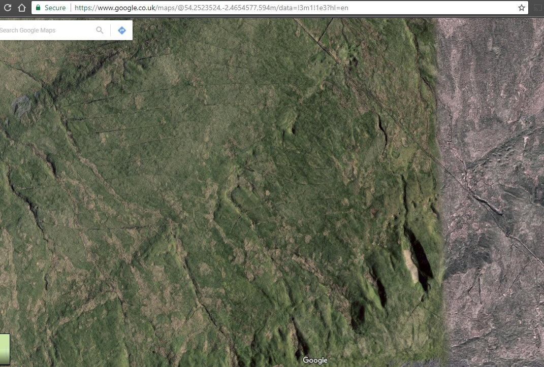
If I zoom in on the black stuff, I see more prominent straight cuts in the landscape, which definitely seem man-made and I'm guessing drainage (but in different style and behaviour to the ones I mention previously: