9
   

Hurricane Season 2013


JPB
 
  3  
Reply Thu 3 Oct, 2013 12:38 pm
NHC is up
Quote:
Due to the Federal Government shutdown, NOAA.gov and most associated web sites are unavailable. However, because the information this site provides is necessary to protect life and property, it will be updated and maintained during the Federal Government shutdown.
http://www.nhc.noaa.gov/cyclones/

http://icons-ak.wunderground.com/data/images/at201312.gif
0 Replies
 
JPB
 
  2  
Reply Fri 4 Oct, 2013 03:17 pm
Just had to share this. We're in New Orleans for Karen. I went to the grocery store to stock up on a few just-in-case items. The water shelf was nearly empty except for a few packs of small bottles. The vodka and rum sales were brisk though. I'm seeing hurricane party announcements galore.

I'm making a pot of Jamaican black beans and rice tonight and a lamb stew tomorrow night. The cold front coming behind the storm will bring gorgeous weather with highs in the 70s and overnight lows in the 50s. Perfect sleeping weather even if the power goes out. I've got multiple bags of water freezing in the freezer (keeps food cold for a while and then potable afterward). Candles - check. Flashlights - check. Extra batteries - check. Water, vodka and rum just in case - check.
JPB
 
  2  
Reply Fri 4 Oct, 2013 06:49 pm
@JPB,
Why anyone would vote down that post is beyond me, but whatever. It's a lovely evening in advance of the storm.
0 Replies
 
JPB
 
  1  
Reply Fri 4 Oct, 2013 08:47 pm
10pm observations are up. She's slowed down to 6mph. That's not good for folks on the east side where most of the rain occurs. Looks to be a long night overnight tomorrow.
0 Replies
 
edgarblythe
 
  1  
Reply Fri 4 Oct, 2013 09:03 pm
It's gonna be rough. I feel for the ones in the path.
0 Replies
 
JPB
 
  1  
Reply Sat 5 Oct, 2013 02:50 pm
TS Karen meets a cold front from the west and stalls off of the LA coastline. Almost all of the rain activity is over the Gulf and expected to stay there. Landfall now forecast for tomorrow morning as a tropical depression.

http://icons-ak.wunderground.com/data/images/at201312_sat.jpg
0 Replies
 
JPB
 
  2  
Reply Sat 5 Oct, 2013 07:41 pm
https://fbcdn-sphotos-a-a.akamaihd.net/hphotos-ak-ash3/1119918_561419193925166_997388656_o.jpg
0 Replies
 
edgarblythe
 
  2  
Reply Sat 5 Oct, 2013 07:45 pm
I'm following, just haven't commented.
JPB
 
  1  
Reply Sat 5 Oct, 2013 07:48 pm
@edgarblythe,
Pretty much a non-storm at this point. You can almost see a face in that satellite photo.
0 Replies
 
edgarblythe
 
  2  
Reply Sat 5 Oct, 2013 08:00 pm
See its breath too.
0 Replies
 
panzade
 
  2  
Reply Fri 11 Oct, 2013 12:47 pm
India is menaced by a big one.
http://blogs.smithsonianmag.com/smartnews/files/2013/10/10_11_2013_phailin.jpg

Hurricane Phailin is set to be the strongest storm to ever come roaring out of the Indian Ocean. Phailin (pie-leen)—Thai for sapphire—is a massive storm in both strength and size.

The U.S. typhoon forecasting centre is predicting Phailin to hit as a Category 5 hurricane with winds peaking at more than 195 miles per hour. Phailin is nearly 1550 miles across, says meteorologist Eric Holthaus.

For reference, tropical storm Sandy was 700 miles across. “Some forecasters likened its size and intensity to that of hurricane Katrina, which devastated the U.S. Gulf coast and New Orleans in 2005,” says Reuters.

0 Replies
 
JPB
 
  1  
Reply Sat 12 Oct, 2013 05:15 am
Almost landfall. Down to a strong cat 4. Still not good, but better than last night's cat 5 forecast at landfall.

http://icons-ak.wunderground.com/data/images/ni201302_sat.jpg

http://icons-ak.wunderground.com/data/images/ni201302.gif
0 Replies
 
JPB
 
  1  
Reply Sat 12 Oct, 2013 05:17 am
My thoughts and prayers to all along the Indian coastline.

http://www.ssd.noaa.gov/PS/TROP/floaters/02B/imagery/vis-animated.gif

edgarblythe
 
  1  
Reply Sat 12 Oct, 2013 08:32 am
@JPB,
All we can do is watch and wish them the best of luck. I hope the evacuations went well.
0 Replies
 
JPB
 
  1  
Reply Sat 12 Oct, 2013 08:42 am
Quote:
7 people reported dead in Odisha. Electric Poles have been uprooted in Srikakulum. Phailin less than 40 km offshore of Golpapur.


And, it's barely the beginning.
0 Replies
 
panzade
 
  1  
Reply Thu 7 Nov, 2013 03:18 pm
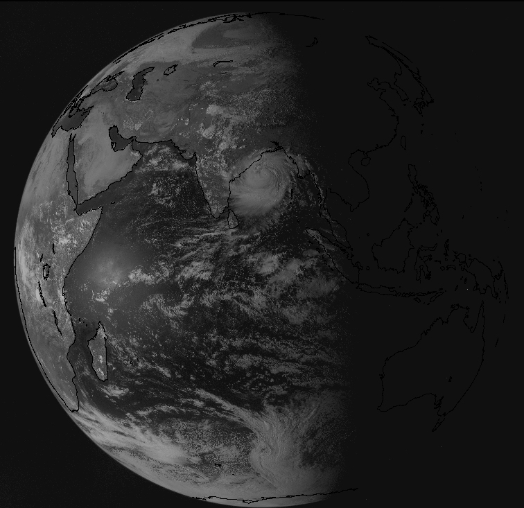
MANILA (Reuters) - Authorities in the Philippines grounded air and sea transport on Thursday and urged fishing boats to return to port, as an approaching super typhoon, the most powerful storm on earth this year, gathered speed.
Related Stories

Philippines evacuates coastal areas as approaching typhoon strengthens Reuters
Thousands flee before big typhoon hits Philippines Associated Press

Typhoon Haiyan is expected to make landfall early on Friday between the central islands of Samar and Leyte.

With center winds of 215 kph (133 mph) and gusts of up to 250 kph, the storm, rated as category five, the most severe, was moving west-northwest at 33 kph in the Pacific Ocean.

Cuidate Filipinos

http://l.yimg.com/bt/api/res/1.2/uuVZKLT_RuHnhql6xWihHg--/YXBwaWQ9eW5ld3M7Zmk9ZmlsbDtoPTU0MDtweW9mZj0wO3E9NzU7dz05NjA-/http://l.yimg.com/os/publish-images/news/2013-11-07/20804d75-fc76-4110-b25f-add7e61d6292_10726056545_52700f143c_o.png
edgarblythe
 
  2  
Reply Thu 7 Nov, 2013 03:22 pm
@panzade,
I was just reading about that on a different site. It doesn't look good.
0 Replies
 
panzade
 
  2  
Reply Sun 1 Dec, 2013 11:39 am
Well it's time to sign off for this years Hurricane season. No major hurricanes!
Hasn't happened since 1994 in the Atlantic where we reside.
0 Replies


Related Topics

Hurricane Season 2010 - Discussion by realjohnboy
2009 Hurricane Season - Discussion by realjohnboy
Gustav! - Discussion by littlek
WEATHER OR NOT? - Discussion by Misti26
Snowmaggedon 2015!!! - Discussion by jespah
Great Dust Storm of 2012 - Discussion by edgarblythe
NO FLY ZONE . . . IN ENGLAND ! ! ! - Discussion by Setanta
Mid-Atlantic Blizzard - Discussion by Diest TKO
SNOW REMOVAL IS "SHOVEL READY" - Discussion by farmerman
 
Copyright © 2024 MadLab, LLC :: Terms of Service :: Privacy Policy :: Page generated in 0.03 seconds on 04/19/2024 at 04:41:52